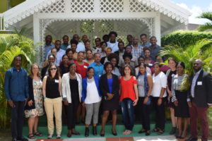
 I recently took part in The Nature Conservancy’s kick-off workshop for their new Mapping Ocean Wealth projects in the Eastern Caribbean. This work, focusing on five countries in the Organization for Eastern Caribbean States (Grenada, St. Kitts and Nevis, St. Vincent and the Grenadines, Dominica, and St. Lucia) is part of a larger marine spatial planning process for the region. My postdoc advisor, Alastair Harborne, and I have been contracted to conduct the portion of the project that looks at ecosystem services provided by the coral reef fish assemblage. I will be modeling and mapping fishing impact across the region, then using impact estimates to create high-resolution maps of fish biomass for each country. With my models and maps, I will be able to predict fish biomass under a range of different management scenarios and estimate the time it would take any given reef fish assemblage to recover to carrying capacity following the cessation of fishing. These products will allow stakeholders to engage in the marine spatial planning process with science-based, spatially-explicit knowledge of the impacts of small-scale reef fisheries, and with reasonable expectations regarding fish biomass and any potential biomass recovery.
It’s been almost 15 years since I conducted long-term monitoring surveys of Dominica’s coral reefs through the Atlantic Gulf Rapid Reef Assessment (AGRRA) program, and I’m so excited to be not only working again in the region, but using those AGRRA data to further OECS’ marine spatial planning goals for coral reef fisheries.
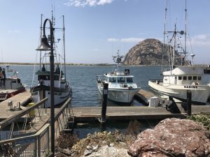
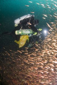
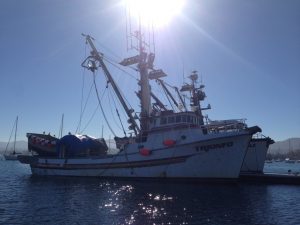 I’m back out at sea on the NOAA Southwest Fisheries Science Center’s annual rockfish recruitment cruise. I’m on a slightly longer leg this year (June 1st-13th), but I’ve got a great route along the entire California coast – Eureka to San Diego. We’re also on a much swankier boat this year than in years past (the newly-commissioned NOAA R/V Reuben Lasker). The Lasker is a ship outfitted for science on the West Coast of the US, and provides a great platform for the trawl surveys that are the basis of the rockfish cruise each year.
 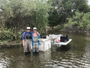 There are many benefits of being part of a large, diverse lab. One of the most fun (and I think most valuable) of these is the opportunity to help other grad students with their fieldwork. A few weeks ago, I spent the day on the Mokelumne River with
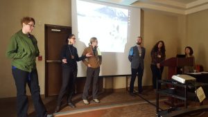 I attended the 2017 Society for Applied Anthropology meeting in Sante Fe from 28 March – 1 April with my mentor, Carrie Pomeroy. The highlight was presenting a paper in the session titled “Interdisciplinary Perspectives for Managing Marinescapes” along with talented folks from University of Alaska Fairbanks, U Saskatchewan and the U of Maryland.
 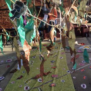 The RC Lab’s famous kelp forest made another appearance! This time at Mar Vista Elementary School. The kelp forest (which we pair with underwater video of actual monitoring transects) gives the students an idea of what marine surveys actually entail. In the lesson we’ve developed over the last several years, students learn the ID of several common species, think about habitat associations, make hypotheses, survey the “kelp forest”, and graph their data. We also let students try on and model our SCUBA gear which ends up being pretty entertaining (and hopefully sparking interest in marine research).