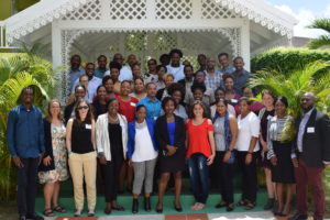
 I recently took part in The Nature Conservancy’s kick-off workshop for their new Mapping Ocean Wealth projects in the Eastern Caribbean. This work, focusing on five countries in the Organization for Eastern Caribbean States (Grenada, St. Kitts and Nevis, St. Vincent and the Grenadines, Dominica, and St. Lucia) is part of a larger marine spatial planning process for the region. My postdoc advisor, Alastair Harborne, and I have been contracted to conduct the portion of the project that looks at ecosystem services provided by the coral reef fish assemblage. I will be modeling and mapping fishing impact across the region, then using impact estimates to create high-resolution maps of fish biomass for each country. With my models and maps, I will be able to predict fish biomass under a range of different management scenarios and estimate the time it would take any given reef fish assemblage to recover to carrying capacity following the cessation of fishing. These products will allow stakeholders to engage in the marine spatial planning process with science-based, spatially-explicit knowledge of the impacts of small-scale reef fisheries, and with reasonable expectations regarding fish biomass and any potential biomass recovery.
It’s been almost 15 years since I conducted long-term monitoring surveys of Dominica’s coral reefs through the Atlantic Gulf Rapid Reef Assessment (AGRRA) program, and I’m so excited to be not only working again in the region, but using those AGRRA data to further OECS’ marine spatial planning goals for coral reef fisheries.